Three Hundred Years of Travel over Blair County’s Allegheny Mountains
Overcoming the Alleghenies
Kevin J. Stiver's second publication, Overcoming the Alleghenies, was published in 2024 after drawing inspiration from the late Altoona historian Fred E. Long's 1966 work, Conquering the Alleghenies. His short paperback explores the evolution of transportation across the great natural barrier of the Allegheny Mountains, tracing the journey from Native American footpaths and colonial wagon roads to the engineering achievements of the Pennsylvania Railroad. Stiver’s 2024 publication expands on these methods of important travel by exploring new outlets of information, as well as additions to relevant topics that were featured in Long’s original publication.
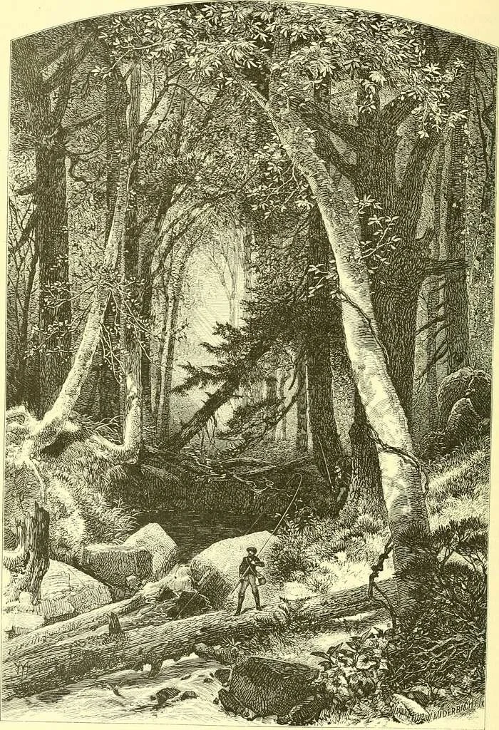
Long before modern roads and railroads crossed the mountains, a network of Native American foot trails connected scattered settlements on both sides of the Allegheny Front. As European settlers arrived, many of these paths evolved into wagon roads, providing the first established routes through what would eventually become Blair County. Among the most significant was the Frankstown Path, also known as the Kittanning Trail. This well-traveled route crossed the Allegheny Mountains through a gorge beneath Kittanning Point—a prominent knob overlooking the present-day site of the Horseshoe Curve outside Altoona.
Following the Revolutionary War and into the early nineteenth century, Pennsylvania continued expanding its transportation network. In 1821, the Commonwealth opened its first major statewide turnpike. The Huntingdon, Cambria, and Indiana Turnpike formed an important section of this highway, crossing the Allegheny Mountains near present-day Duncansville on what is now Old Route 22. Local residents strongly advocated for the road to serve the principal communities of the region, and its route was surveyed by John Blair, the man for whom Blair County would later be named when it was created from Huntingdon County in 1846.
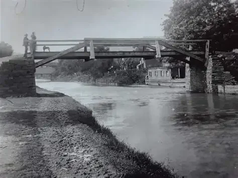
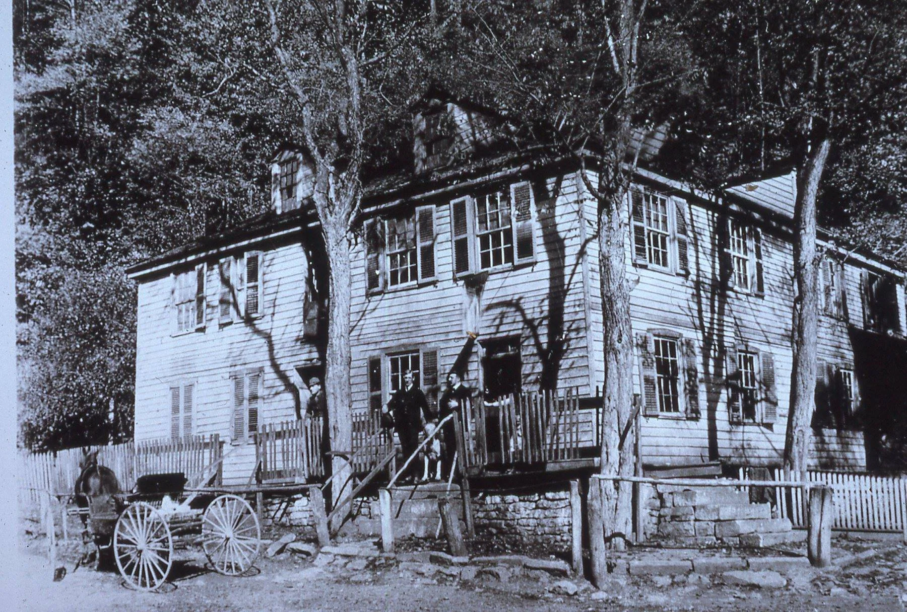
Blair's route through Blair Gap greatly improved access to the growing community of Hollidaysburg, which served as the eastern basin of the Pennsylvania Canal by the late 1820s. Hotels, taverns, and businesses flourished as travelers and merchants passed through the town. Hollidaysburg's importance increased even further with the opening of the Allegheny Portage Railroad in 1834.
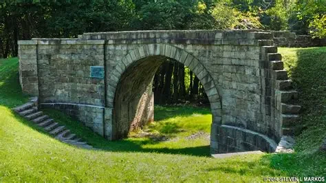
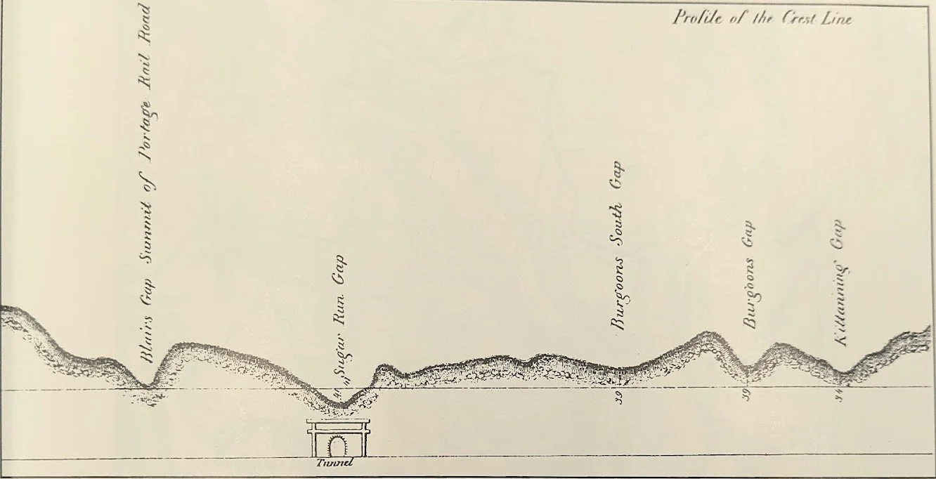
The Allegheny Portage Railroad was one of the most remarkable engineering projects of its day. Its system of ten inclined planes carried freight—and eventually entire canal boats—over the Allegheny Mountains, linking the canal basins at Hollidaysburg and Johnstown. The eastern half of the railroad generally paralleled the turnpike through Blair Gap. Its construction introduced several technological innovations, including America's first railroad tunnel, early applications of wire rope, and numerous advances in railroad safety and engineering. Hollidaysburg’s bustling atmosphere and large population at the time made it ideal for the location of Blair County’s county seat.
Despite its ingenuity, the Portage Railroad was slow and labor-intensive. By 1839, alternatives to the inclined-plane system were already being considered to reduce the lengthy journey across the mountains. Several railroad routes were surveyed, but no major improvements were undertaken until the Commonwealth's Main Line of Public Works faced growing competition from a private railroad company.
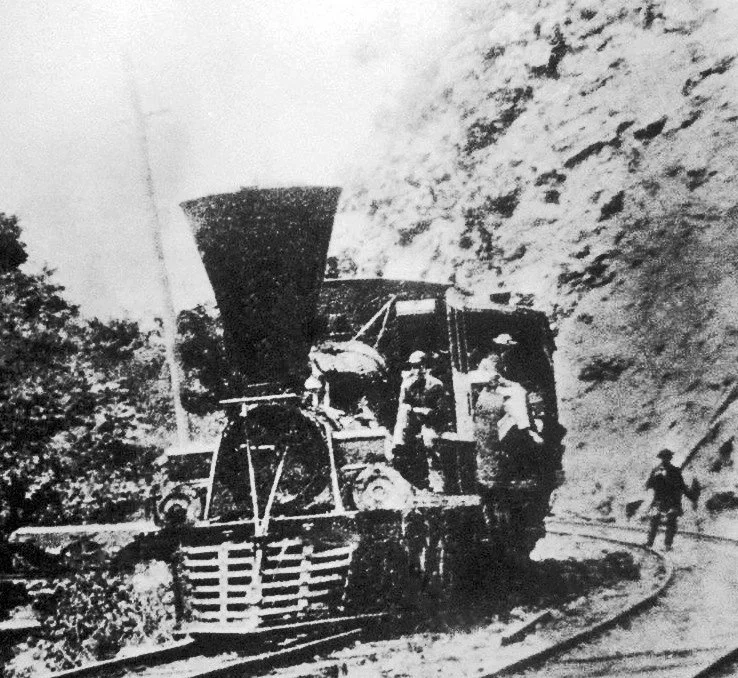
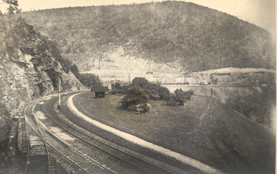
The Pennsylvania Railroad established its first railroad shops at what would become Altoona in 1849 with the primary goal of creating a faster and more efficient route across the Alleghenies. By 1850, the company had connected its railroad to the Allegheny Portage Railroad while simultaneously constructing its own Mountain Division, featuring the Horseshoe Curve and the Gallitzin Tunnel. On February 15, 1854, the Pennsylvania Railroad officially opened its new main line through the Allegheny Mountains. Remarkably, only a century earlier, travelers crossing this same landscape had relied on the Kittanning Trail.
Determined to compete, the Commonwealth constructed the New Portage Railroad, which opened in 1855 and included the Muleshoe Curve which was built over the old Huntingdon, Cambria, and Indiana Turnpike. However, the line proved too costly to maintain and could not compete with the Pennsylvania Railroad's more efficient operation. It was sold to the Pennsylvania Railroad in 1857 at a significant financial loss to the state and was largely abandoned until 1904, when it was reopened as an emergency freight route.
Today, the Horseshoe Curve remains one of the world's most celebrated engineering landmarks. Likewise, the road surveyed nearly two centuries ago through Blair Gap continues to carry thousands of vehicles each day. From Native American trails and early turnpikes to canals, inclined planes, and modern railroads, every method of crossing the Allegheny Front transformed the region's commerce, industry, and communities. Each represented another step in humanity's enduring effort to overcome one of Pennsylvania's greatest natural barriers.
Together, these successive innovations shaped the history of central Pennsylvania and, in every sense of the phrase, helped us Overcome the Alleghenies.
How Long does a journey from pittsburgh, pa to philadelphia, pa take?
-
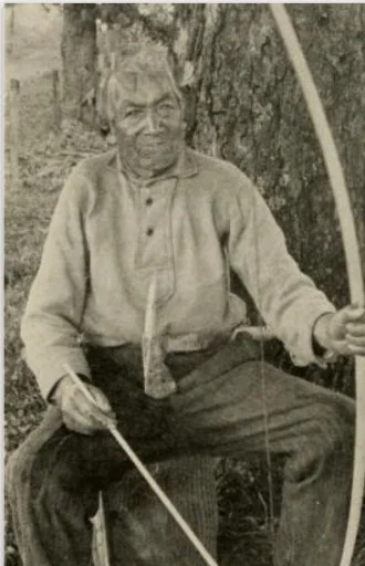
Traveling on the Indian trails and paths across the state usually took 1-2 months, depending on trail conditions, weather, etc.
-
With the commonwealth’s first major roadway complete, travel usually took 3 weeks, again accounting for varying travel conditions, etc.
-
When a solid system of operation was established, travel across the state usually took 3-5 days when using the canal and inclined planes efficiently.
-
With use of the Pennsylvania Railroad’s Horseshoe Curve and Gallitzin Tunnel, travel across the state could be done in 15 hours.
-
With modern-day options, such as interstate highways (5 hr), faster rail travel (7.5 hr), and air travel (1.5 hr) travel over the Allegheny Mountains is faster than ever.
I’ve partnered with local business Kelley’s Treasures LLC for local delivery and shipping options. Click the “Purchase Book” button above to learn more.